Home > All Titles > November New Releases > British Railway Atlas 1955

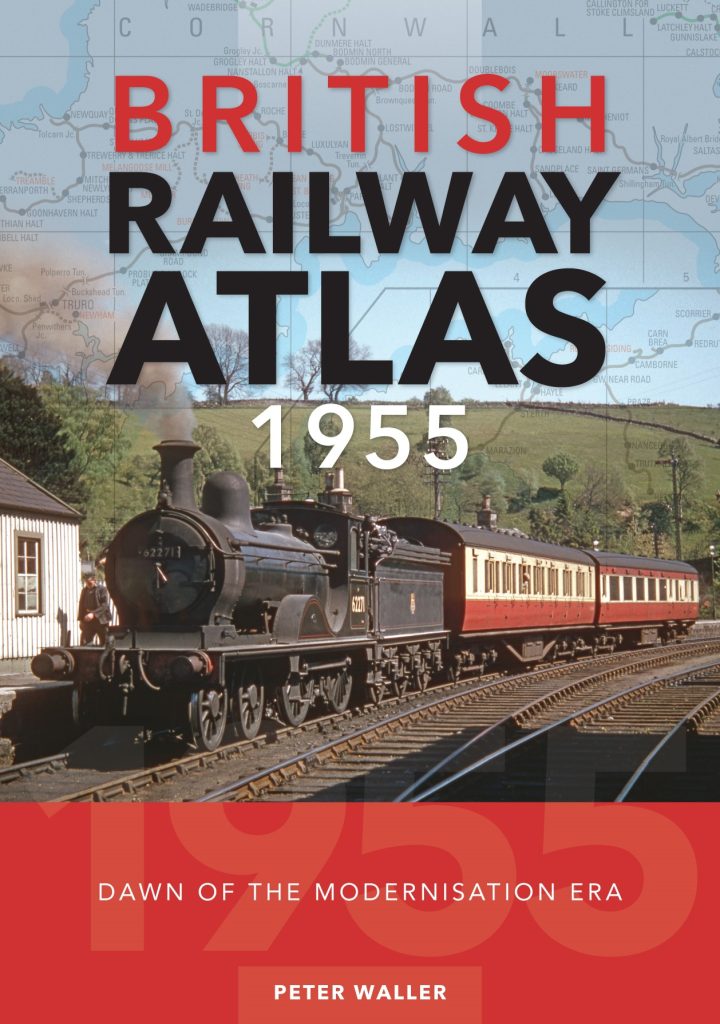
The mid-1950s marked a high point in the history of Britain’s railways. Seven years after the nationalisation of the ‘Big Four’ railway companies in 1948, there was a feeling of optimism within the industry. The ‘Modernisation Plan’, with its promise of wholesale dieselisation and main-line electrification, was intended to bring a new era of profitability, and it was still possible to travel through much of Britain by train using the extensive network of rural branch lines and secondary routes, many of which were to disappear forever during the closures of the next decade.
Crécy has been building a reputation for producing quality atlases of Britain’s railways, and in addition to completely new works we are bringing back into print some of the atlases we inherited with our acquisition in 2016 of Ian Allan Publishing. Rail Atlas 1955 is one of these. This is a revised and expanded edition of the Atlas with a bigger page size, making it easier to use. It also includes a new 32-page photo section showing aspects of the railway scene in 1955.
This volume covers the network as at 1 January 1955, the dawn of the modernisation era. Different colours identify the lines of each of the six regions, with passenger and freight-only lines being further highlighted. In addition, there is a useful index of station names. This atlas thus provides a fascinating snapshot of the extent of British railways in the period immediately prior to Beeching’s cuts of the early 1960s. Comprehensive and detailed, it is a testament to the remarkable breadth and depth of the network post-Nationalisation, much of which was soon to be erased, and is an invaluable reference source for all railway enthusiasts and historians.